
Written by Lile Mo
By 2005, the Chinese city of Hefei was quite literally drowning in the effects of rapid development – a preview of the challenges many cities now face. With climate change intensifying, global urban flooding costs exceed $120 billion annually, made worse by unchecked sprawl and paved-over waterways. Hefei’s breakneck expansion consumed 890 hectares of farmland per year, outpacing even Beijing, and buried ancient canals from the Tang Dynasty under concrete. This turned monsoon rains into destructive forces and flood damage soared to ¥2.3 billion in 2005. But unlike many cities that respond only after disaster, Hefei chose to act decisively.
Years before “sponge cities” became a buzzword in the global urban planning vocabulary, Hefei proved that floods need not be inevitable disasters. Rather, they are often symptoms of outdated design. By reactivating ancient, often forgotten infrastructure and zoning strategically, the city turned vulnerability into resilience. Today, cities from Jakarta to Houston are exploring variations of its model. With 2.4 billion people projected to face flood risks by 2050 (according to the UN), Hefei’s early pivot offers essential lessons for a wetter, denser future.
The Innovation: A City in Three Functional Rings
From 2009-2012, Hefei reorganised itself into concentric zones, each with a specialised purpose and ecological role. This redesign, run by the government, followed the idea of a living organism: a Brain to think University of Science and Technology of China (USTC’s) quantum labs buzzing behind guarded gates), Muscle to build BOE Technology Group Co., Ltd.(BOE’s) vibration proof factories assembling tomorrow’s tech), and Lungs to breathe (ancient Tang Dynasty canals repurposed as liquid cooling for supercomputers). This was city-building as genetic engineering, and it worked.

Let’s take a closer look at the three rings:
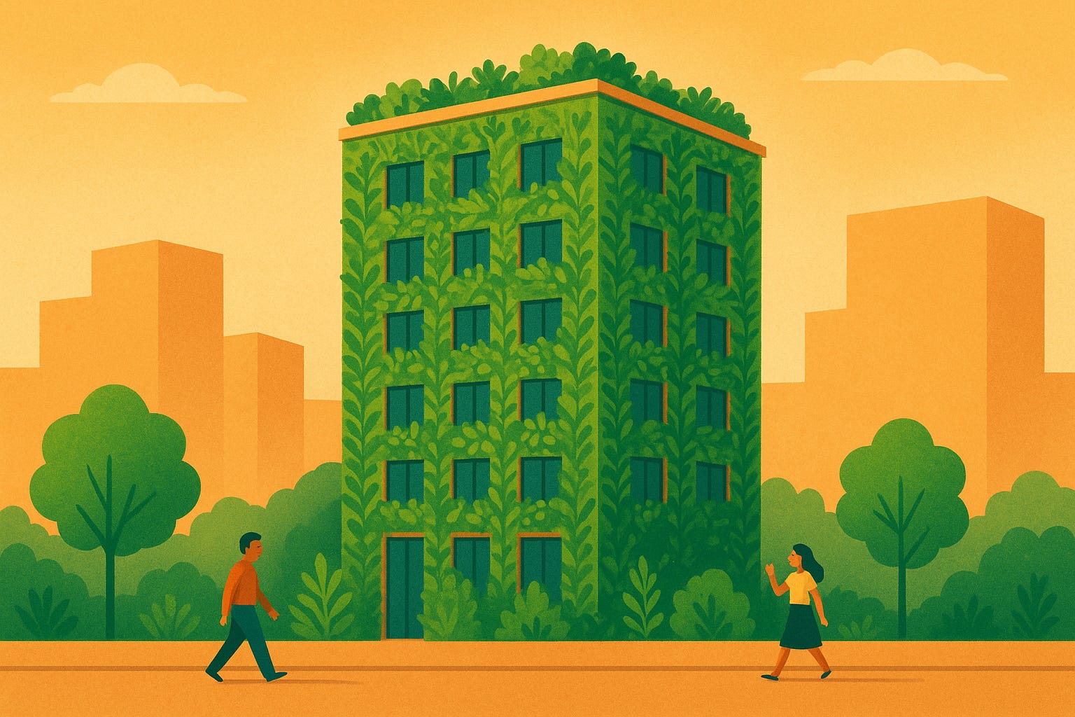
1. The Core (20km²): Protected Innovation Zone
Hefei’s innermost ring turned the city’s historic center into a protected innovation hub. Ancient Tang Dynasty canals, built around 800 AD for irrigation, were retrofitted with titanium heat exchangers to cool supercomputers. This approach is 23% more energy efficient than conventional cooling towers. Research labs are built 3.2 meters above flood level, mirroring Ming-era flood-resilient grain storehouses that survived centuries of monsoons. A strict 2km buffer zone and AI-powered sound dampeners create stable conditions where quantum coherence lasts 150% longer than in similar labs. Thanks to these buffers, it is possible to provide extreme silence for quantum computers to perform their complex computations
This zone now produces 387 patents annually, 90% of China’s total quantum patents and has attracted over $2.8 billion in research investment since 2015. It is aptly nicknamed the “Quantum Valley”.
")
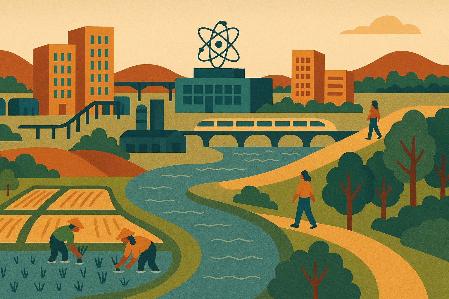
2. The Middle Ring (178km²): Efficient Production Corridor
The middle ring, Hefei’s production corridor, reimagines industrial land use through vertical integration. BOE’s 12-story “industrial pagodas” stack cleanrooms vertically, with raw materials entering rooftop ports and finished OLED panels exiting through underground maglev lines. This layout fits 47 suppliers into just over 4 km². The streets in the ring double as water management systems: porous smart asphalt channels monsoon runoff through ceramic filters (based on Ming Dynasty pottery techniques) to irrigate 80 hectares of underground hydroponic farms, providing 30% of workers’ meals.
After a shipping disaster in 2012, where OLED panels worth almost 9 million USD crystallised into useless dust during a cold snap, Hefei responded with solutions that blend Ming Dynasty agricultural wisdom and cutting-edge materials science: Vibration-dampening roads, made with recycled rice husks, cut product breakage to 17 units per 10,000. The result: a production zone where 93% of components travel less than 800 metres between factories.

3. The Outer Ring (320km²): Ecological Shield
Hefei’s outermost ring acts as an ecological shield and a resource. Engineers restored 120 km² of retention basins along historical flood paths, guided by farming logs from the 16th century, to create a buffer that is capable of absorbing 3.8 million cubic meters of floodwater. This protects the inner rings from once-in-a-century storms. Former industrial zones were repurposed for flood-resistant rice cultivation, nourished by nutrient-rich wastewater from nearby factories, achieving yields 52% above regional averages. A strict growth boundary, enforced by satellite monitoring and guarded checkpoints with driver ID checks, digital cargo manifests linked to a database, and real-time waste discharge certificates from factory sensors, has preserved 12,000 hectares of farmland since 2016. During the 2020 monsoon season, this ring reduced flood damage by ¥1.4 billion compared to 2005, and supplied 40% of the city’s seasonal vegetables via aquaponics.

The Human Cost of Reinvention
Hefei’s transformation came at a significant human cost: Between 2009 and 2015, around 40,000 residents – mostly low-income families and farmers – were relocated to make space for the innovation zone and flood retention zones. While authorities offered compensation at 110% of market value, investigations by China Urban Studies found that 23% of displaced households reported delays in payments or disputes over valuation. Many moved to government-built high-rises on the city’s fringe, where flood risks were lower but job opportunities often were, too.
A 2023 follow-up study on the displacements by Anhui University found mixed results:
- Flood Safety: 92% of relocated households now live above the 50-year floodplain (compared to 34% before), with no flood-related deaths since 2016.
- Economic Disruption: 41% reported income losses due to lost farmland or factory work. However, 28% found new employment in urban agriculture or recycling initiatives.
- Informal Alternatives: Around 15,000 people settled in unlicensed underground “mole cities” beneath industrial parks – flood-safe but informal communities, with rent 60% below average.
Hefei’s Legacy: A Cautious Blueprint for the Future
Hefei’s three ring model shows that strategic specialisation, not expansion, can foster climate resilience and economic growth in flood-prone regions. By reactivating historical water systems and enforcing strict growth boundaries, the city achieved what once seemed impossible: It reduced both sprawl and flood risk while tripling industrial output.
But the success rests on specific conditions:
- Unique ancient infrastructure from the Tang and Ming Dynasties that could be repurposed
- Centralised authority to enforce relocation and zoning, which is rare in democratic contexts
- A willingness to prioritise industry over social equity, as evident in the displacements

These factors make direct replication difficult. Still, these three core principles of Hefei’s transformation can guide other cities navigating growth and climate risk:
- Functional zoning can outperform mixed-use in flood-prone areas
- Ancient water systems may outperform modern engineering when maintained and adapted
- Growth boundaries must be backed by fair compensation and support systems mechanisms
Key Takeaways for Planners
Hefei’s model shows teaches that cities can tame floods and sprawl by:
- Repurposing historical infrastructure (like Jakarta’s revived colonial-era waterways for flood control),
- Enforcing growth boundaries with density incentives (as in Houston’s “vertical resilience districts”), and
- Creating circular resource loops (e.g., wastewater-to-agriculture).
These modular approaches – retrofitting water systems, piloting vertical zones, and mapping resource flows – show that even car-centric or fast-growing cities can adopt elements of Hefei’s nature-inspired efficiency without requiring a full urban overhaul.
Around the world, cities are following Hefei’s example and implementing lessons from the three ring solution. In Southeast Asia, ASEAN’s Smart Cities Network cites Hefei’s flood zoning as innovative, though challenging to implement in dense megacities like Jakarta. In India, Chennai’s 2022 master plan includes flood retention zones inspired by Hefei. And UN-Habitat highlights Hefei as a case study, while noting concerns about displacement.
Closing Thought: Hefei’s quantum silence is more than an engineering feat – it’s a blueprint for cities where ancient wisdom and AI collaborate to redefine urban resilience.
As an urban planner documenting all 707 Chinese cities in my project China in 5 (13.6 years, 1 city weekly), I’ve seen no place marry heritage and innovation as boldly as Hefei. Its rings remind us that every city, whether a megacity or a county town, holds untapped potential in its forgotten systems. For more case studies from Week 5 and beyond, explore chinain5.substack.com or follow the journey at chinain5.org.
For Further Reading:

Detailed renderings and planning documents of Hefei’s sponge city transformations, including the floodplain parks, eco-shore wetlands, and quantum valley’s water management systems are available through the Förster Cityfoerster project archives:
- Sponge City Masterplan
- Five Landscapes, One Park
- Floodplain Park Design
- Eco-Shore Wetlands
- Wetland Restoration
These resources reveal the technical artistry behind Hefei’s “three rings” strategy.
Thanks for reading Urban Solutions Journal! Subscribe for free to receive new posts and support my work.