Participatory Methods: Mapping
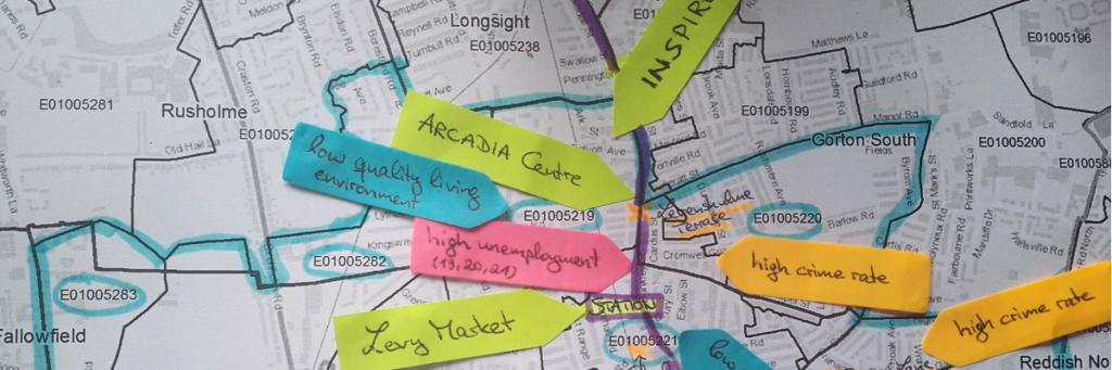
Using mapping, you can combine the results of auto-photography and transect walks into a great visualisation of the urgent urban planning issues in a neighbourhood.
Using mapping, you can combine the results of auto-photography and transect walks into a great visualisation of the urgent urban planning issues in a neighbourhood.