Just a quick recommendation for those of you who are interested in mapping and urban spaces! These related articles might also interest you:
TRIALOG: A Journal for Planning and Building in a Global Context
TRIALOG’s annual meeting 2017 “Mapping: Space and Action”
Friday, 1 December 2017, 9:00-18:00hs
weißensee kunsthochschule berlin, Bühringstraße 20, 13086 Berlin, Germany
For more than a decade now, mapping has become an acknowledged instrument of research, analysis and diffusion of expert as well as everyday life knowledge in the planning and social sciences. Mappings of various nature and at various scales—from wide-span global relations to individual behaviour and movement patterns in local contexts—offer an interdisciplinary approach, open to artistic interpretations, to the paradigm of space and have relevantly expanded cartography’s understanding and practice.
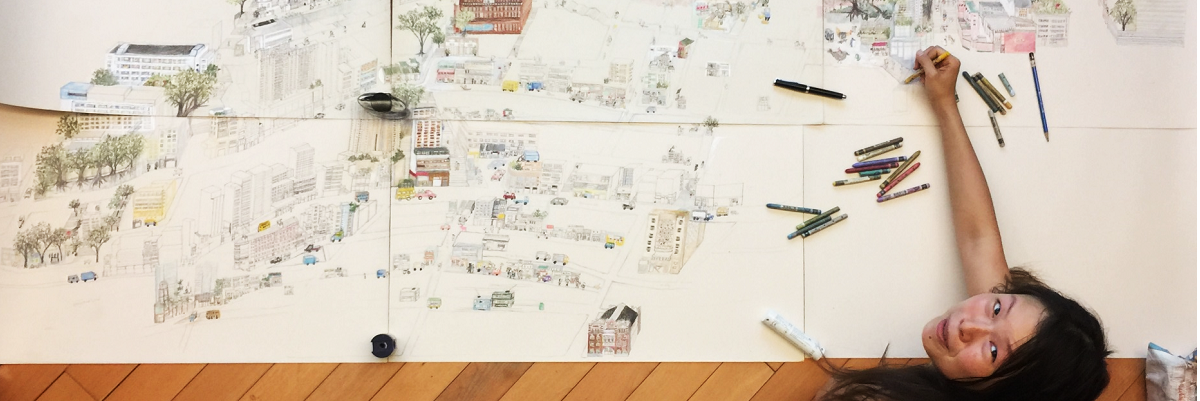
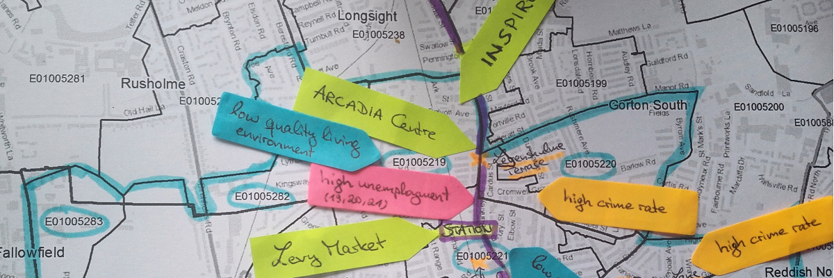
Thereby, mapping is gaining popularity also beyond the scientific field. On the one hand, “mapping from below” and “community mapping” are being applied both in formal planning processes of neighbourhoods, cities, landscapes or even regions (in these cases, practitioners speak of participation or participatory moments) and in more radical self-organised processes initiated by inhabitants. On the other hand, artists adopting cartographic approaches are increasingly challenging one-sided interpretations and traditional applications.
Exploring Old Fadama’s island condition through mapping by Development Planning Unit University College London via flickr, CC BY 2.0
